Drone and UAV Technology Reviews, Articles, News, Build Logs
In the video below from the 2015 ESRI User Conference, drones are shown to capture imagery which is integrated in mapping applications. Very cool.
You have a first look at the new Typhoon Q500 4K quadcopter by Yuneec, along with me!
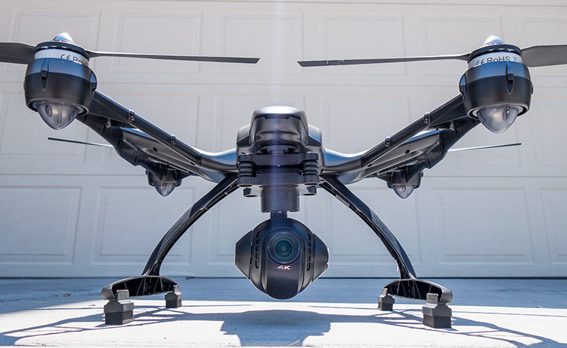
Yuneec Typhoon Q500 Quadcopter
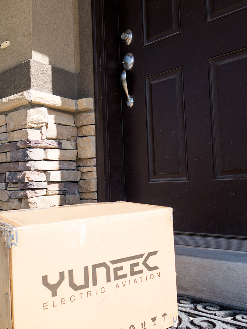
I’m very excited to show the first clues as to a new unboxing and review I’ll be posting soon. Something new from Yuneec!